words to heartful action
News about discovering by bike
Tour suggestions
Events details
And more...
Tour suggestions
Events details
And more...
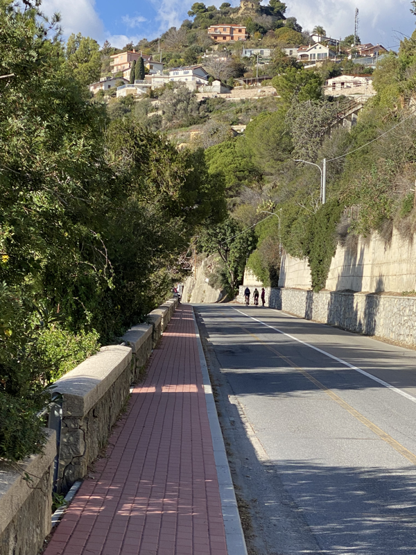
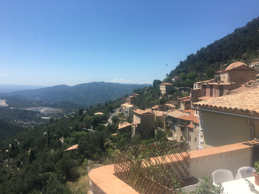 Distance Nice - Peille/return: 70 km Climb: 900 m+ Main routes: Grande Corniche (M2564) and D53 from La Turbie Close to: Col de la Madone, L’Escarène, Monaco Level of difficulty: Moderate Season: Spring, Summer, Fall Tip: If you want to try a true hairpin climb, cycle through Peille to La Grave and climb back up to Peille via one of the famous climbs of the region. Peille is one of my favourite spots to visit for a few hours' bike ride out of Nice! A hidden gem in les Alpes Maritimes this village is definitely worth the climb either via Col d'Eze from Nice or via the North Eastern flat roads out of Nice through La Trinité and Drap and climbing the epic climb to Peille from la Grave de Peille. If you want to follow the beautiful coastal climb you can either follow the route of Col d'Eze or head to La Turbie via the more moderate Moyenne Corniche. Either way, you will pass through La Turbie from where you need to find the road to Peille. It is easy: Just turn left when you see a road going uphill right after the "village center" = the square with restaurants! On your right handside you can look down on the towers of Monaco, however you want to look up to see the pretty trees along the road. When you pass the road towards Monaco Golf Club, you follow the hairpin turn up left - we are cycling, not golfing after all!! :-) Keep following this road untill you reach Peille and enjoy the magnificent view in to the Alpes-Maritimes. It is one of these landscapes that you never tire of. Once you are in Peille, you can have a coffee and crêpe in one of the small cafés in the village. Follow the small street signs - you must enter the small roads going through the medieval town. Every weekend you can also grab lunch in the restaurant in the middle of the village that offers a great view from the tables inside. Col de la Madone de Peille If you are up for a bit more climbing and beautiful views, follow the road towards St. Agnes that you pass on your way from la Turbie to Peille. It is a 5 km moderate climb from here to the famous Col de la Madone. Continue on the other side down to Menton and go back to Nice via the coast road through Monaco - or return the same way that you came for a descend on more quiet roads. 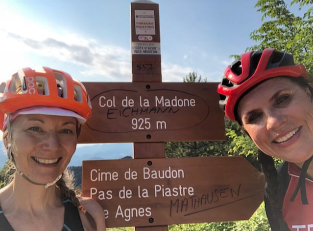 Happy Cycling! Tina Baltzer Lifesparkz Bike Tours 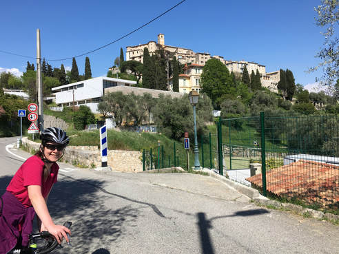 Distance Nice - Gattières - Carros - St. Jeannet - Nice: 55 km Climb: 500 m+ Main routes: M2209 from Saint-Laurent du Var, M2210, M18 Close to: Col de Vence, Vence, Broc, Gilette Level of difficulty: Easy-Moderate Season: Spring, Summer, Fall Tip: If you continue through Carros to Broc and find a small road going down to the riverside, you can cycle back through the flat valley by a cycling path that follows the Var river back to Saint-Laurent-du-Var. Another option for a longer round trip is to follow M1 and D8 through Bouyon and Coursegoules to Vence by passing Col de Vence. Gattières and Carros are villages on the Western side of the Var valley that you can cycle to via some gentle hill-slopes not far from Nice. This is a great route for you, who are starting to become familiar with cycling in mountains. There are gentle climbs and descends where you can challenge yourself with a bit of uphill and descend at good roads and (for the area) short sections. As you moves into the backland of the coast you will be met by the majestic mountain tops from the bigger tops of Les Alpes-Maritimes.
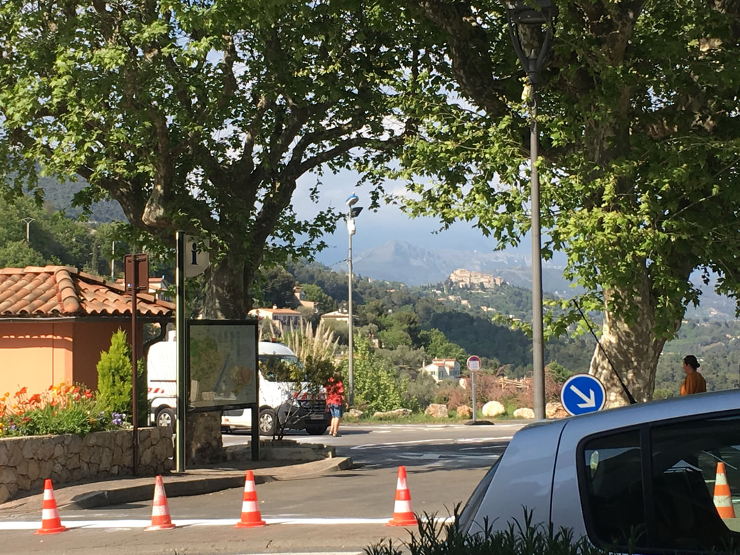
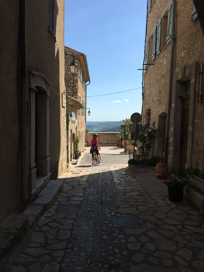
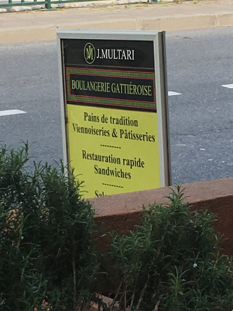
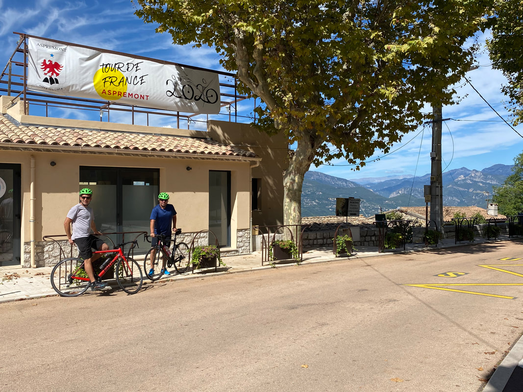
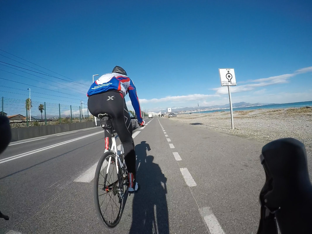
When you start from Nice you cycle out to the seaside town called Saint-Laurent-du-Var via Promenade des Anglais. It is just a few km after Nice airport. In Saint-Laurent-du-Var the quickest way is to find the main road M95. There is often dense traffic, so pay attention and make sure to give room to the other people in traffic when you pass through the round-abouts. Another option is to follow the main road through Saint-Laurent-du-Var town, however there is quite a few traffic lights and often a bit slow town traffic. Follow the M2209 and follow the road on the left towards Gattières after appr. 5 km. You have now a climb up to the first village Gattières. In Gattières there is a bakery where you can buy very nice patissérie and coffee. The local bar close to it is also happy to serve cyclists passing through! :-) Continue on the same road to Carros village. Carros is very beautifully located and has as any medieval village in the area small tiny charming streets - which are not so approachable by road bike! You can now return the same way as you came back to Nice. Or you can follow a pretty road from Gattières up close to St. Jeannet, which is another very picturesque village. At the round about at the foot of St. Jeannet follow the direction towards La Gaude and follow M118 down to Saint-Laurent-du-Var again. Return to Nice! :-) Tina Baltzer Lifesparkz Bike Tours  Distance: Nice - Aspremont - Tourette-Levens - Nice 50 km Climb: 700 m+ Main routes: M714, M14, M719, M19 Close to: Col de Chateauneuf-Vielleville, Saint-Blaise, Levens, Mont Chauve d'Aspremont Level of difficulty: Easy-Moderate Season: Spring, Summer, Fall Tip: You can extend the tour and do an app. 70 km loop by following the road further North in Aspremont and cycle through Saint-Blaise/Levens before you hit the road M19 back to Nice. It is a very scenic loup! You can add more climb by including Col de Chateauneuf-Vielleville or Mont Chauve d'Aspremont. From this area you can also continue to the climbs further into the back country of Nice, e.g. Lucéram, Col de la Madone d'Utelle or Col de Turini. One of the things that I love about living in the Nice area is that you only have to bike for a short time, before you reach small villages in the hills around Nice that have been there for ages and have an authentic Provence feel to them. Aspremont and Tourette-Levens are some of them. In a few hours, you can visit both of them in this 50 km loop from Nice. Like Rome, you can go to Aspremont by quite a few ways. I would not say that all roads lead to Aspremont, but there are 3 entrance points to the village and it is at the center of a web of connecting smaller mountain roads. At the map-shot below Aspremont is where you see the icon from a photo taken when I rode the tour one day in June. 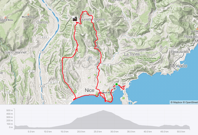 An easy way from central Nice is to follow the Promenade des Anglais towards West until you reach a city area called Magnan. Turn right and follow the main road: Boulevard de la Madelaine. You start cycling towards the mountains through a residential area. Soon you no longer feel like being in one of the biggest cities of France.
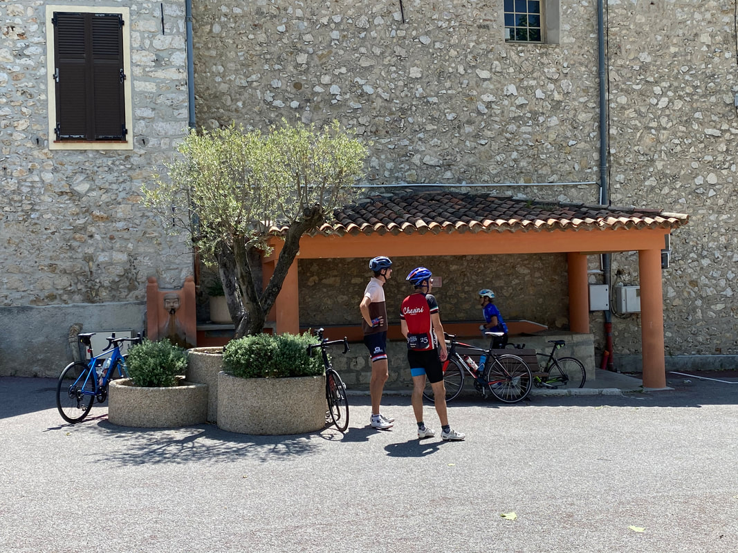
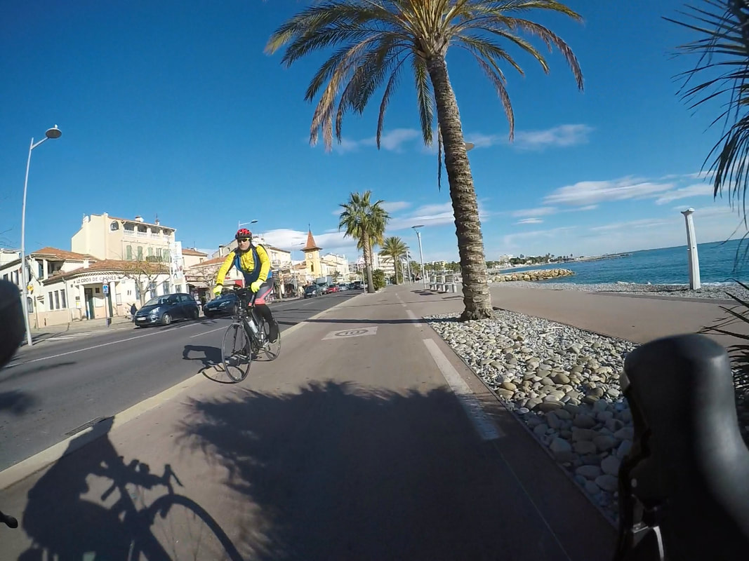
You will reach a creek and follow this for quite a while until you follow the road going uphill towards a hill-top area called Saint-Pancrace. You reach route d'Aspremont and do a left turn*. There will be signs that direct you to Aspremont at this point. Follow the smooth road and enjoy the view towards the Var valley. *Tip to the climb-lovers: Nearby you can try out one of the local challenges, Mont Chauve d'Aspremont (834 m), which you can climb by making a right turn in the same intersection. You will soon see Aspremont rise from the hills - it is a very pretty village that has reached towards the sky since Medieval times. Make sure to make a stop at the village square. The fountain in Aspremont is a popular meeting spot for cyclists, who are happy to chat with fellow cycling lovers. On the other side of the community house, you can grab a coffee at the café. On days where the café is closed, you can also go to the supermarket where the friendly owner is happy to serve a coffee and some pattiserie. To go directly to Tourette-Levens from Aspremont, find the road that goes a slight bit more uphill from the parking area in the mid of the village. You do not have to climb much before you enter a valley and can slide down to the next village. It is a stunning landscape here with rolling forest green hilltops and a peak through to the sea - enjoy it! As you reach the main road in Tourette-Levens, make a right turn. You can follow this road all of the way back to Nice by a long and nice decent of the easier kind. You will travel through the outer areas of Nice; Falicon and Saint-André-de-la-Roche before you follow the Western river bank of Paillon river to downtown Nice. Voila - 2 villages in a few hours ride! C'est magnifique <3 Tina Baltzer Lifesparkz Bike Tours 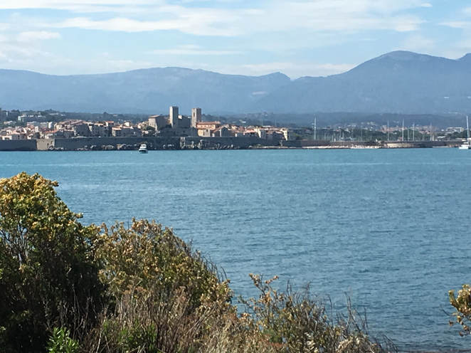 Distance Nice - Antibes: 50 km return ride incl. Cap d'Antibes. Main routes: The road along the coast. There are cycling paths Nice-Antibes. It is flat most of the way with a few hills at Cap d'Antibes. Close to: Cannes, Biot, Valbonne, Vence, Tourettes-sur-Loup Level of difficulty: Easy Season: All year Tip: You can cycle to Antibes/return by following the cycling path along the coast road without doing the tour around Cap d'Antibes. The cap is a unique landscape and definitely worth the ride. Cycling to Antibes from Nice is for you who want a day cruising the flat roads next to the beautiful azur waters of the Côte d'Azur. You will find no mountains to climb on this road! When you start in Nice, you find your way to the Promenade des Anglais. Simply start pedaling the cycling path towards the airport. It is a two-way cycling path all of the way to Villeneuve-Loubet. You can cycle on the road as well if you are prepared for sometimes heavy traffic and quite a few traffic lights. When you reach Nice airport, the path will curl a bit along the airport area. Follow the path and pay attention to the intersections that cross the cycling path. Although a lot of drivers in Nice are friendly to cyclists, you will meet some who do not necessarily stop for cyclists in an intersection. Therefore, always be prepared to stop! Keep the pace down as you pass the airport. There are often travelers, who cross the cycling path without being aware that there is one and that they may walk in front of a cyclist. You will soon cross the bridge over Var river and enter Saint-Laurent-du-Var. Keep following the cycling path. When you have passed through Saint-Laurent-du-Var, you come to Cagnes-sur-Mer with the cycling path surrounded by palmtrees. On a sunny day there will be a lot of people walking, rollerblading, scooting, cycling on a one wheel cycle or the rentable cycle-cars. Basically you meet all sorts of traffic here and with a speed limit set for max. 10 km/hour! - you do need to pay a lot of attention for whatever is moving on the path. Sometimes even the police hiding behind palm trees to catch offenders of the 10km/hour rule! (Most often the police officers have better things to do). 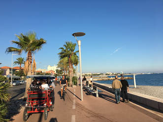 If you feel like having a pause for a drink there are plenty of cafés and restaurants along Cagnes-sur-Mer beach front or in the Villeneuve-Loubet Marina (the landmark big white houses that are shaped like triangles).
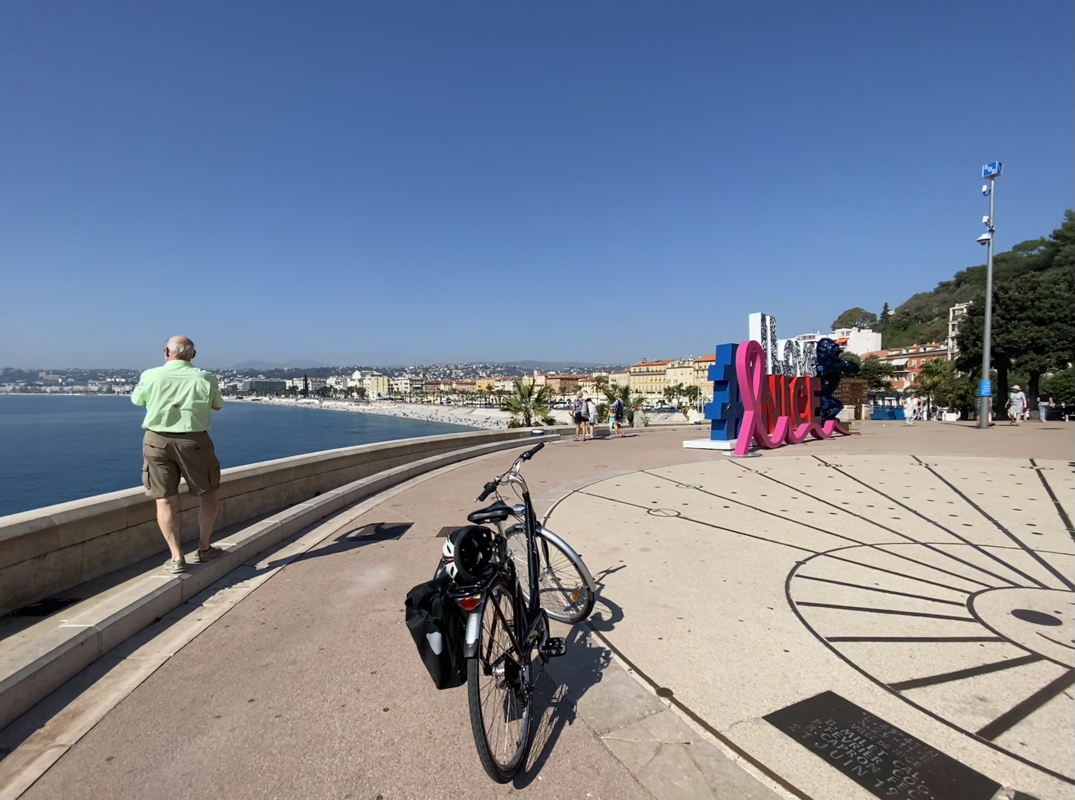
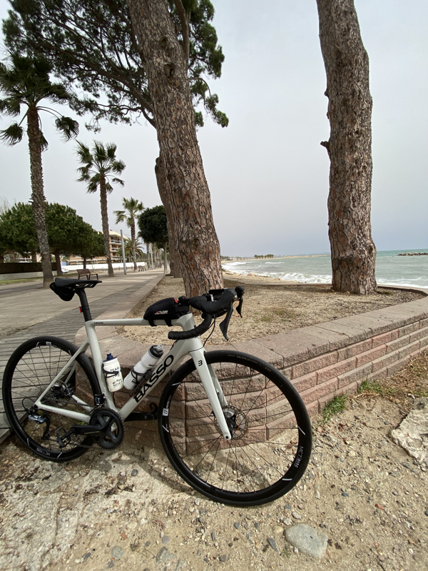
The last stretch from Villeneuve-Loubet to Antibes offers a nice 5 km flat ride on a cycling path on the right side of the road with only a few traffic lights. It can be quite windy - on days where you have the wind in your back, you can get a good pace here! (When it is in your face, it is another story). Embrace the rolling waves cheering for you on your left hand side. Before you know of it, you are in Antibes. Antibes is a sweet town that has one of the biggest harbours in Europe. You often find some of the biggest yachts in the world here. Antibes also has an old charming town with a lot of restaurants and shops. If you want to cruise around Cap d'Antibes, you can follow the road all the way along the coast passing the old chateau that now houses a Picasso Museum. There is around 10-15 km cycling around the cap depending on which ways you choose. There are some great views and extraordinary big villas. If you miss a climb you can do a short one up to see the view from the lighthouse. You will eventually pass through Juan-les-Pins before you go back to Antibes. To go back to Nice, you simply find the harbour in Antibes and follow the same road as you came. Tina Baltzer Lifesparkz Bike Tours |
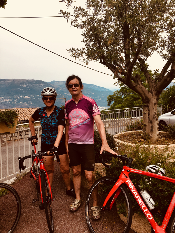
AuthorTina Baltzer, owner of Lifesparkz Bike Tours. |